Raw transcript
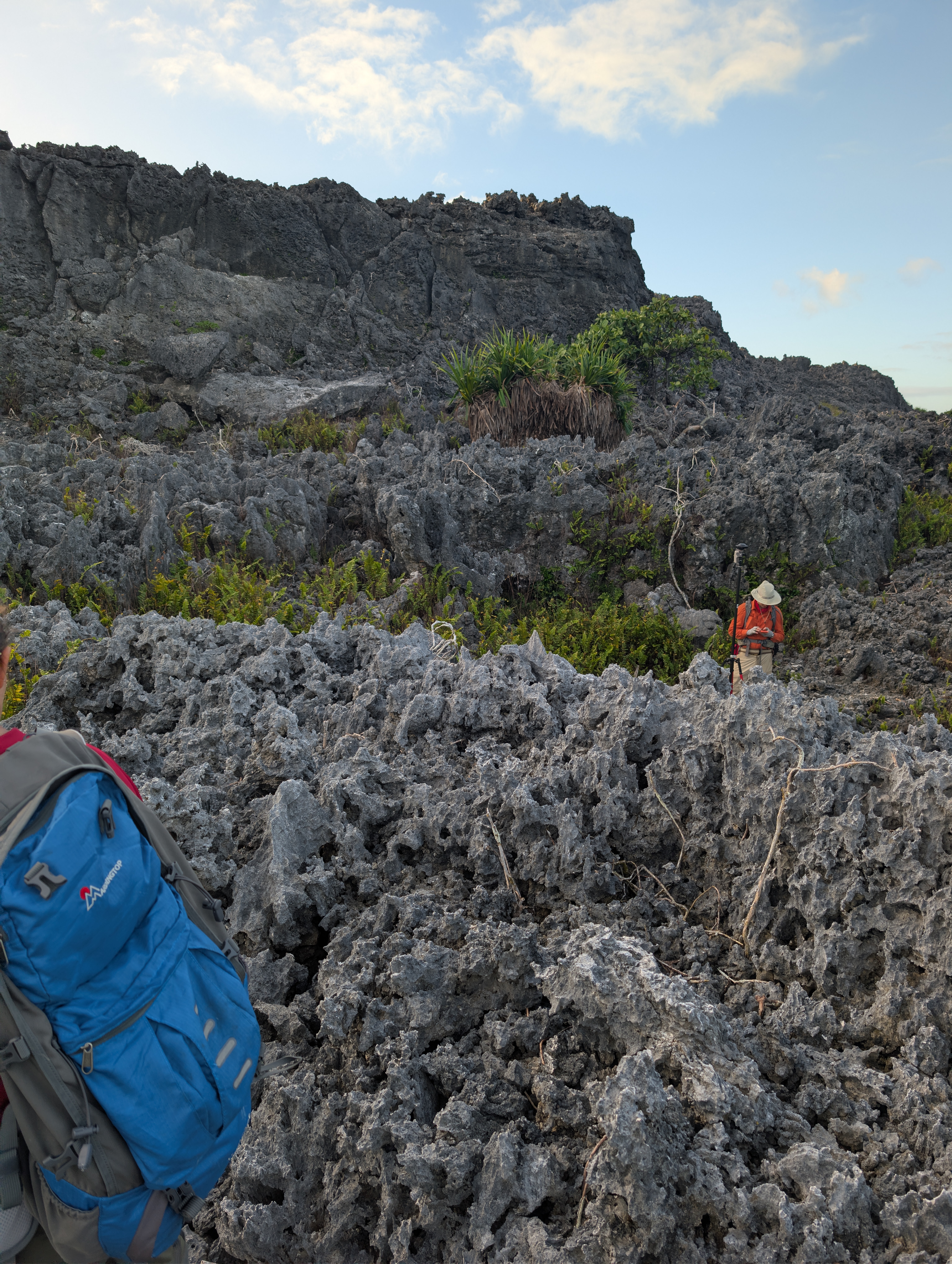
It's really challenging to work out the relationship between the plane that the road is along and the second cliff. We've been walking along the front. We find what looks like pretty intact, deep reef right at the front of the cliff. As we approach the cliffs, there's no obvious, notching or contacts, even like, constructional terraces, caves, beach sediment. It just kind of looks like a slumped pile. It just took a few photos of the general landscape. Still gonna walk a bit and look for more. But I'm starting to wonder if it's possible that the reef we're actually walking in here at the base is just a deeper part of the sea level that's associated with the second cliff. And the cliff itself is the front slope of that engine environment. Sandy or not, there's no less big holes in there. And it's sitting on top of FID. There's not obvious that the corals themselves, the samples are super old and weathered. And it kind of seemed like the FID samples closer to the cliff one.
Whisper fixes
It's really challenging to work out the relationship between the plane that the road is along and the second cliff. We've been walking along the front. We find what looks like pretty intact, deep reef right at the front of the cliff. As we approach the cliffs, there's no obvious, notching or contacts, even like, constructional terraces, caves, beach sediment. It just kind of looks like a slumped pile. It just took a few photos of the general landscape. Still gonna walk a bit and look for more. But I'm starting to wonder if it's possible that the reef we're actually walking in here at the base is just a deeper part of the sea level that's associated with the second cliff. And the cliff itself is the front slope of that engine environment. Sandy or not, there's no less big holes in there. And it's sitting on top of FID. There's not obvious that the corals themselves, the samples are super old and weathered. And it kind of seemed like the FID samples closer to the cliff one.
No word-level changes detected.