applied | 2026-05-25
Atiu
Datum
14.231 m- ITRF2008 comparison
- 12.012 m
- Receiver offset
- 2.2187 m
Receiver and ITRF2008 details
ATLAS ellipsoid solutions from the EOS Arrow Gold are relative to ITRF2008. The recorded vertical position is the receiver phase center, 2.2187 m above the measured point (2.180 m pole and spike, 0.003 m mounting bracket, 0.0357 m Arrow Gold phase center). The ITRF2008 comparison value subtracts that receiver/pole offset from the displayed datum. Local mean-sea-level elevations use point height minus island datum, so this offset cancels within the field guide.
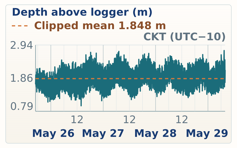
Swipe or use arrow keys to view the full record.
Datum 0.000 m
Logger -1.848 m
+2.161 m
-2.356 m
Gauge GPS tie
Reef flat
Modern notch